
Ukraine received about 6,000 satellite images through the “People’s Satellite” project.
Since the launch of the “People’s Satellite” project in September 2022, the Main Intelligence Directorate of Ukraine has received nearly 6,000 radar images. This data is used to identify military targets and assess the aftermath of strikes on temporarily occupied territories.
The “People’s Satellite” project provided Ukraine with its first space “eyes” and significantly impacted military intelligence capabilities. The images obtained through this initiative allow viewing objects in temporarily occupied territories of Ukraine and in Russia in real time. They are used for task planning and target damage assessment. GUR representative Andriy Yusov emphasizes that access to space technologies has become critically important for modern warfare.
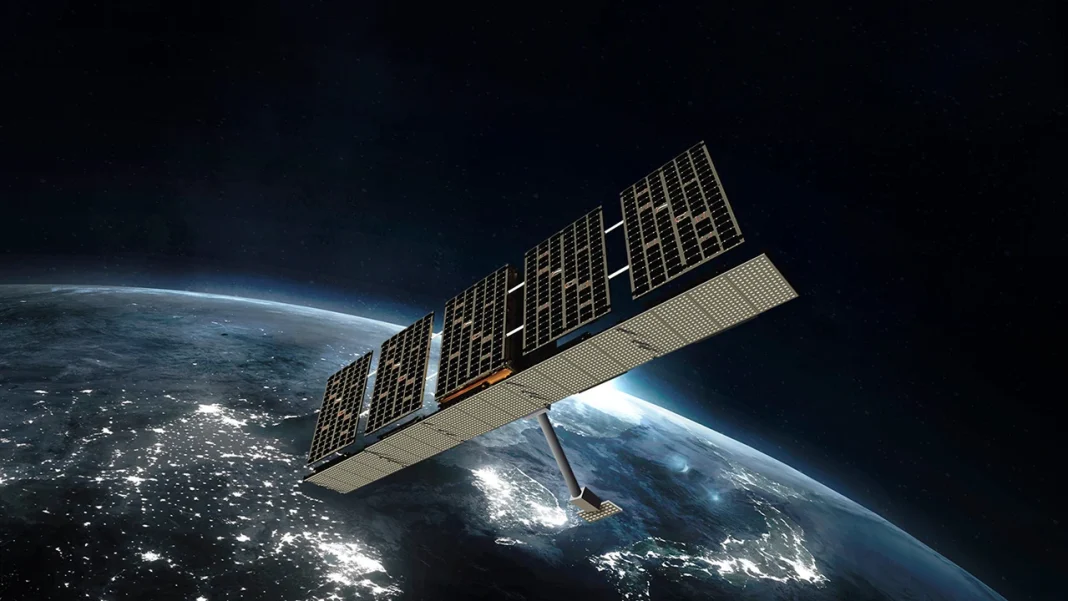
Thanks to the project’s data, the Russian army has suffered losses worth billions of dollars. SAR radar technology allows obtaining images regardless of the time of day and weather conditions. The images have a resolution of up to 0.25 meters per pixel and cover an area of up to 225 square kilometers.
The project was launched with the support of the Serhiy Prytula Charity Foundation, which raised 600 million hryvnias. This allowed Ukraine to gain access to the Finnish company ICEYE satellite and its database. The project was funded through donations from Ukrainians and businesses.
| Indicator | Value |
|---|---|
| Number of images | 6,000 |
| Resolution | 0.25 m/pixel |
| Coverage area | up to 225 km² |
| Funds raised | 600 million UAH |
| Launch year | 2022 |